


 Children 0-16
 Youth 17-24
 Students
 Accessibility
 Luggage
 Animals
 Disruptions
 Tram
Tram
Service level objectives
Nysse’s service level targets define what kind of public transportation service is appropriate in different parts of our service area. They guide route planning, support the coordination of public transportation and land use, and determine the funding required to provide the service.
Regions develop at different paces: in some areas, the population and services are growing, while in others, the population is declining or jobs are moving elsewhere. Public transportation must anticipate this change and respond to it by utilizing different service levels:
- We tailor our offerings to where travelers are.
- We identify residents' mobility needs while taking into account the specific characteristics of each area.
- We ensure that public transportation can operate on the street network.
- We support climate goals by reducing the need for private car use.
Nysse’s regional service level targets are set for each council term in collaboration with the Nysse municipalities. This replaces the previously used service level definition (in Finnish).
The Tampere Metropolitan Area Public Transportation Committee approved Nysse’s regional service classification for 2026–2030 in its meeting on 4 February 2026.
 What are the goals of service levels?
The service level describes the overall public transportation service in a specific area—not the service level of a single route. The service level defined for the area must be met at least in accordance with the classification, so in some respects it may even exceed this standard.
There may be several different service categories within the same municipality. We ensure that areas within the same category are treated equally, regardless of which municipality they are located in.
Nysse service levels
Nysse has five service level categories:
- Best service
- Good service
- Moderate service
- Limited service
- Focused service.
Metrics have been defined for service levels to help classify an area into the appropriate category. In addition to demand for services, the classification is influenced by factors such as the suitability of the street network for public transportation, the smooth flow of travel chains, and the area’s land-use development prospects.
The classifications are displayed on map images and in map services along public transportation routes to make it clear that they specifically refer to the level of public transportation service, not to other regional classifications. Each level has its own color and line style, which help distinguish the categories from one another.
 Explore the service levels on the map
The map service lets you see the level of public transportation service in different areas at a glance.
The colors of the public transportation routes indicate where the level of service changes and how service is distributed across different areas. The map is particularly useful for planning routes, comparing areas, and understanding the overall picture of public transportation.
The map service works best on larger screens, but it can also be used on mobile devices.
Service level descriptions and metrics
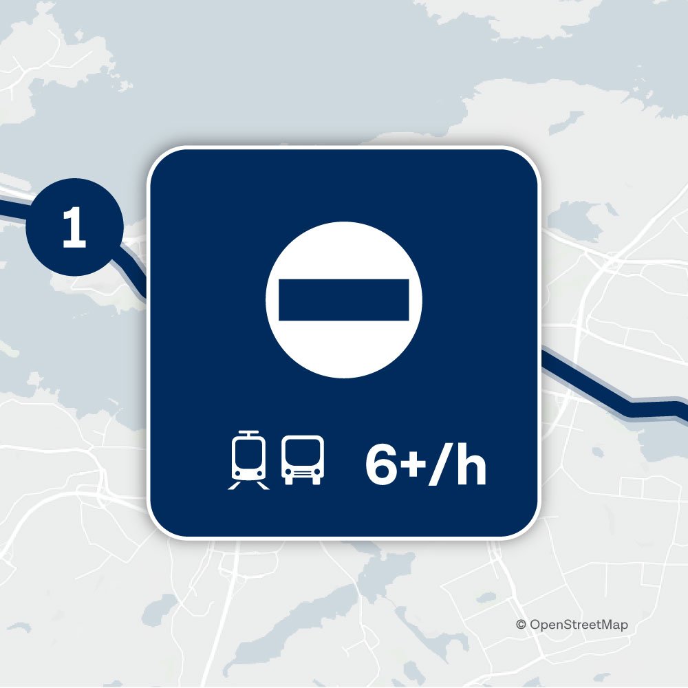
In areas with the highest level of service, public transportation runs every day of the year. Service hours are long even on weekdays, and there is ample night service on weekends.
The area is a densely built-up and diverse regional center, where the number of residents and jobs creates strong demand for public transportation. Traveling is smooth and easy, and planning a trip requires little advance planning.
- Service level 1 on the map: a thick, solid dark blue line.
- Examples of service level 1 areas: The Tampere city centre core, Tesoma, Linnainmaa, Hervanta.
Metrics
- Hours of operation: Operates every day of the year.
- Approximate service hours: Daily between 4:00am and 1:00am, with additional night service on Fridays and Saturdays until 4:00am.
- Service frequency on weekdays between 7:00am and 6:00pm: At least 6 departures per hour.
- Population density per km²: over 1800 residents or jobs.
Data analysis: Statistics Finland’s 1 km² grid data from the Community Structure Monitoring (YKR) for 2023 and 2024. The numbers of residents and jobs have been halved to calculate a realistic passenger potential. - Passengers per km²: over 100 000 boardings per year.
A boarding refers to a single trip or transfer made by bus or tram.
Source: Nysse statistics from 2024 (in Finnish)
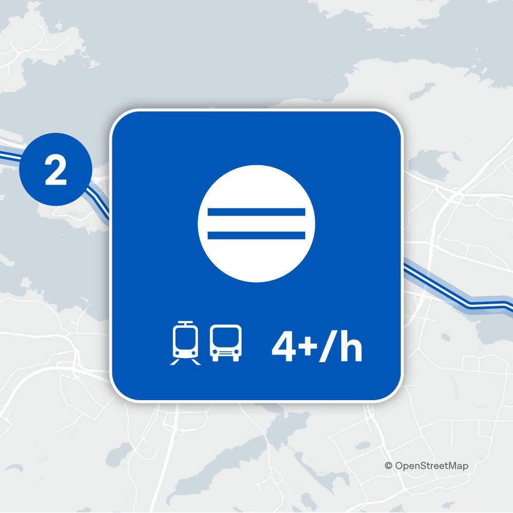
In Level 2 areas, public transportation is available year-round, with slightly more limited service hours than at the highest level. Service is comprehensive on weekdays, weekends, and non-holidays.
Service is regular and frequent, making travel convenient without the need for significant advance planning. Routes and connections are clear and efficient, and travel options are well-suited to the various needs of everyday life.
The area is a compact suburb that combines residential and commercial areas and has strong underlying demand for public transportation. The level of service supports daily commuting in the area and offers a reliable alternative to private car use.
- Service Level 2 on the map: A medium-blue line with a thick white center.
- Examples of Level 2 areas: Kalkku, Lielahti, Atala, and Hermia.
Metrics
- Hours of operation: Service is available year-round, except during Christmas and Midsummer.
- Approximate service hours: Weekdays 5 a.m.–11 p.m., Saturdays 6 a.m.–11 p.m., Sundays 9 a.m.–10 p.m.
- Service frequency on weekdays between 7:00am and 6:00pm: At least 4 departures/hour
- Population density per km²: 1200-1800 residents or jobs
Data analysis: Statistics Finland’s 1 km² grid data from the Community Structure Monitoring (YKR) for 2023 and 2024. The numbers of residents and jobs have been halved to calculate a realistic passenger potential. - Passengers per km²: 55000-10000 boardings per year
A boarding refers to a single trip or transfer made by bus or tram.
Source: Nysse statistics from 2024 (in Finnish).
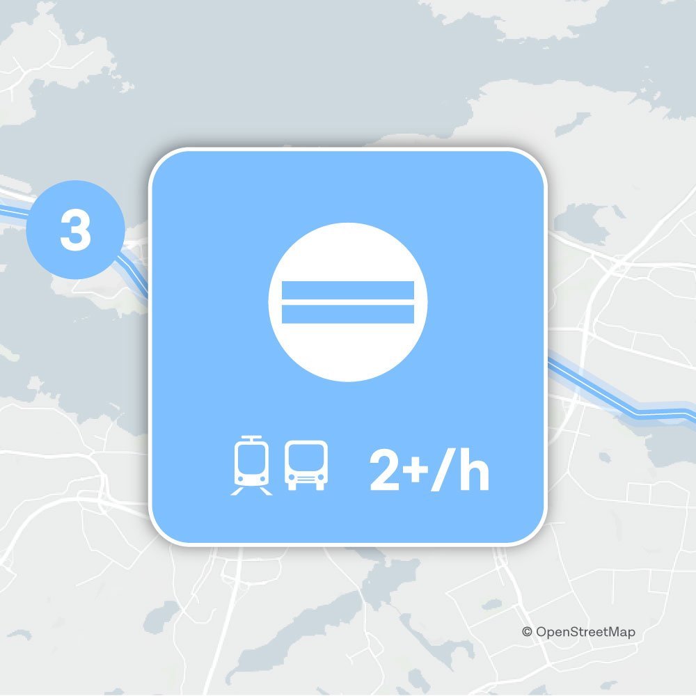
In Level 3 areas, public transportation is available year-round, but service hours are slightly more limited than in Levels 1 and 2. Service operates on weekdays, excluding weekends and holidays, providing the basic means to run errands at various times.
Service is less frequent but regular, and traveling requires checking the schedule from time to time. Wait times are longer, but the connections make for smooth daily commutes.
The area is a sparsely built-up suburb that combines residential and industrial uses. Demand for public transportation is moderate, and the service is designed to support the area’s key travel needs without oversupply.
- Description on the map: A light blue line with a thin white center.
- Examples of Level 3 areas: Ikuri, Siivikkala, Messukylä, and Lukonmäki.
Metrics
- Hours of operation: Service is available year-round, except during Christmas and Midsummer.
- Approximate service hours: Weekdays 6 a.m.–11 p.m., Saturdays 7 a.m.–11 p.m., Sundays 10 a.m.–10 p.m.
- Service frequency on weekdays between 7:00am and 6:00pm: At least 2 departures per hour.
- Population density per km²: 600–1,200 residents or jobs.
Data analysis: Statistics Finland’s 1 km² grid data from the Community Structure Monitoring (YKR) for 2023 and 2024. The numbers of residents and jobs have been halved to calculate a realistic passenger potential. - Passengers per km²: 27,000–55,000 boardings per year
A boarding refers to a single trip or transfer made by bus or tram.
Source: Nysse statistics from 2024 (in Finnish)
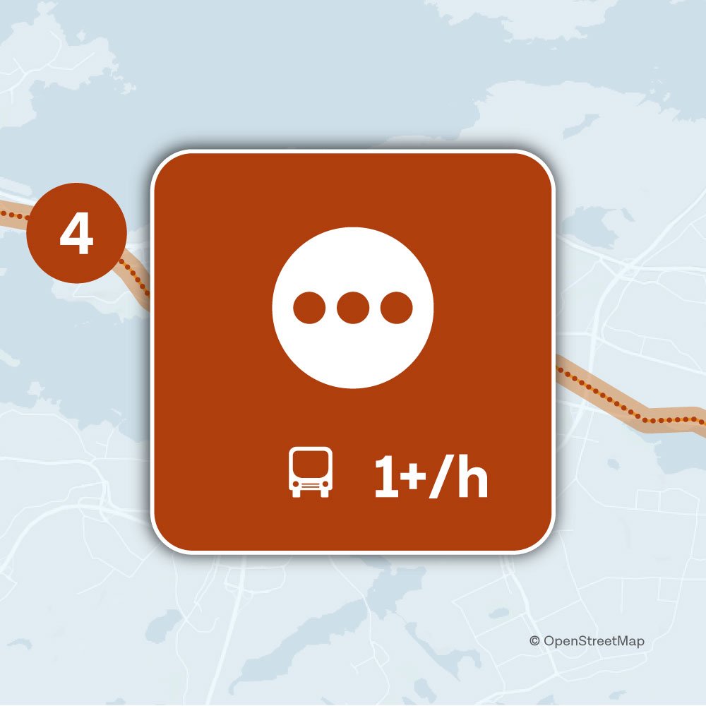
In Level 4 areas, public transportation focuses on weekday service. Service may vary on weekends and during holiday seasons. Service hours are limited but allow for essential weekday trips.
Service is infrequent—usually one trip per hour—which makes travel highly schedule-dependent and requires advance planning. Wait times can be long, making it especially important to plan your connections carefully.
The area is a sparsely developed outlying area or urban settlement with few residents and services, and low demand for public transportation. Services are designed to meet basic mobility needs without oversupply.
- Service Level 4 on the map: Red dotted line.
- Examples of Service Level 4 areas: Myllypuro, Kämmenniemi, Orivesi, Vesilahti kk.
Metrics
- Hours of operation: The service focuses on weekdays, with variations on weekends and during the holiday season
- Approximate service hours: Weekdays 6 a.m.–9 p.m. (Saturdays 8 a.m.–9 p.m., Sundays 10 a.m.–9 p.m.).
- Service frequency on weekdays between 7:00am and 6:00pm: At least 1 departure per hour.
- Population density per km²: 300–600 residents or jobs.
Data analysis: Statistics Finland’s 1 km² grid data from the Community Structure Monitoring (YKR) for 2023 and 2024. The numbers of residents and jobs have been halved to calculate a realistic passenger potential. - Passengers per km²: 8,000–27,000 boardings per year.
A boarding refers to a single trip or transfer made by bus or tram.
Source: Nysse statistics from 2024 (in Finnish)
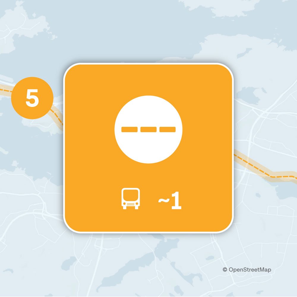
In Level 5 areas, public transportation is limited and targeted. Service is focused on weekday travel and the academic year at educational institutions, but trips may also be offered at other times as needed. During vacation periods, service is significantly more limited.
The service is geared toward morning and afternoon peak travel times. The schedule is not necessarily fixed. Travel requires careful planning, and getting to a stop or an area with better service may take a long time or be difficult due to the terrain.
The area is typically rural, a village area, a sparsely populated area, or a neighborhood of single-family homes, where public transportation complements other modes of travel and focuses on ensuring essential connections. Implementing public transportation in such areas can be challenging. Reasons may include, for example, long distances, sparse population, and low demand. Topography can also make transportation slow or impractical.
- Service Level 5 on the map: Yellow dashed line.
- Examples of Level 5 areas: Pispalanharju, Reuharinniemi, Aitolahti.
Metrics
- Hours of operation: Generally, the academic year at educational institutions. Limited during vacation periods.
- Approximate service hours: Weekday mornings and afternoons. At other times, some shifts.
- Service frequency on weekdays between 7:00am and 6:00pm: Up to 1 departure per hour. The shift schedule is not necessarily fixed.
- Population density per km²: Up to 300 residents or jobs.
Data analysis: Statistics Finland’s 1 km² grid data from the Community Structure Monitoring (YKR) for 2023 and 2024. The numbers of residents and jobs have been halved to calculate a realistic passenger potential. - Passengers per km²: A maximum of 8,000 boardings per year.
A boarding refers to a single trip or transfer made by bus or tram.
Source: Nysse statistics from 2024 (in Finnish)
 More information